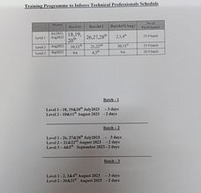
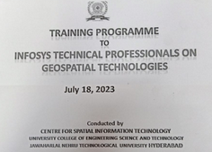
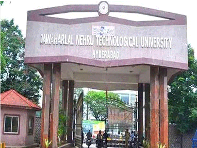
Hyderabad: Realizing the role of geospatial technologies in natural resources and environmental management Infosys has taken a major initiative in familiarizing its technical professionals in this disruptive technology. Having appreciated the available infrastructure and technical competency of the Centre for Spatial Information, JNTUH, Infosys approached for imparting the training to its technical professionals. A total of 170 professionals comprising 7 batches have been trained in the first phase during the period 2019-2020.The course was organized into the following three three-levels of technical professionals:
(i) T300:Process Executives (3days)
(ii) T400:Managers (3days)
(iii) T500:Team Leads (2days)
Included in the first module (T300) are Introduction to Remote Sensing, Geographic Information System (GIS), Photogrammetry, LiDAR technology, Space-based navigation technology (Global Navigation Satellite Systems) and Digital Image Processing .The topics covered in the second module(T400) are: LiDAR technology, Surveying , GIS Analysis and Applications, Concept of Big data and ArcPy.

The third module (T500) aiming at providing a flavour of advances in geospatial technologies covered ArcPy , Arc GeoPy, Drone & Data Analysis , WebGIS and Artificial Intelligence and Machine Learning.
The exercise has been built-in all the modules so as to enable the participants to work on concerned projects. Our lab is equipped with 25 licences each of ERDAS/Imagine version15, (Image analysis software) and Arc GIS version 10.1, 3 licenses Digital Photogrammetry software and eight units of Global Positioning System(GPS) receivers.

Apart from CSIT faculty, expert lectures on certain topics were organised from the professionals in concerned domain from National Remote Sensing Centre, Hyderabad, Survey of India, ADRIN and INCOIS. Moreover, such lectures also covered the case studies from ongoing live projects which provided the feel of real-world problems and the solution geospatial technologies could offer to such probles.
Based on successful completion of the first phase of the training programme Infosys has now Initiated the second of the programme. Based on feedback from the first phase Infosys has come up with the revised course content.


